1ºF in Baltimore, MD
-6ºF in Louisville, KY
7ºF in Charlotte, NC
4ºF in Asheville, NC
18ºF in Macon, GA
14ºF in Athens, GA
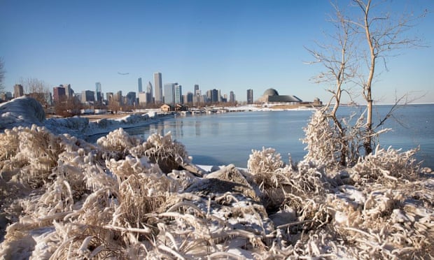
A wide swath of the US was shivering in freezing, record-breaking temperatures while other areas were expecting more winter precipitation on Tuesday.

Deep freeze in the east
The Weather Service said temperatures would be 15-25F below average for most of the east coast west to the Great Lakes and lower Mississippi river valley.
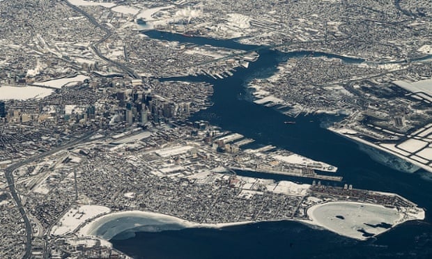
Massachusetts residents faced temperatures well below zero on Tuesday morning, and ferry service from one Boston suburb was cancelled because the harbour was iced in. The National Weather Service reported that as of 6am on Tuesday, it was -18F (-28C) in Orange and Springfield, and -13F (-25C) in Bedford and Norwood.
Boston was 2F with a wind chill of -12.
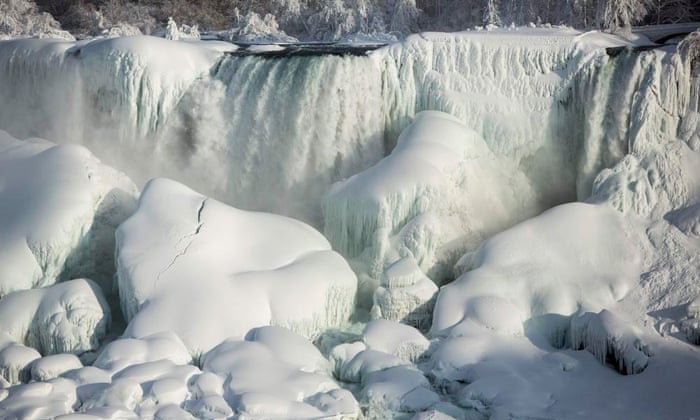
Niagara Falls freezes over as polar vortex drops temperatures

In upstate New York, most places from Buffalo to the Hudson Valley had below-zero temperatures on Tuesday morning. New Hampshire also got off to a frigid start. Subzero temperatures were reported across the state overnight, with temperatures as low as -33F in Whitefield.
 Snow covers the city of Boston on Tuesday, where temperatures reached as low as -15F (-26C). Photograph: CJ Gunther/EPA
Snow, ice in the south
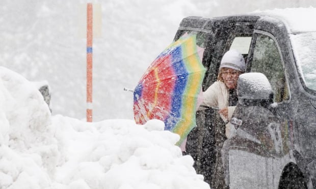
Snow was blowing across roads and highways in the north Georgia mountains early on Tuesday and ice coated cars in some of Atlanta’s northern suburbs. In the north Georgia mountains, crews were ploughing roads and driveways in state parks, which were open to visitors on Tuesday.
National Weather Service forecasters in Jackson, Mississippi, said freezing drizzle continued early on Tuesday over much of central Mississippi and some ice could form on some bridges and overpasses. A fatality was reported when a driver lost control of his car after hitting a patch of icy highway.

Source:
http://www.theverge.com/2015/2/20/8078923/nasa-snow-polar-vortex-usa-satellite


Post a Comment